The ANWB Wateralmanak 1 in its current version is mandatory equipment in the Netherlands. This volume contains all the legal provisions of the Dutch and Belgian Inland Waterways Police Regulations (BPR) that are important for water sports, as well as the Inland Radio Manual (marifonie). An updated version is published every two years. Approx. 850 pages

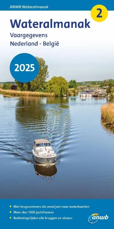
The ANWB Wateralmanak 2 is an annual, indispensable area handbook and nautical reference book for sailing in the Netherlands and Belgium. It contains a directory of Dutch and Belgian marinas, as well as all the necessary information on operating times and call options for locks and bridges, and practical information on moorings, fees and supply options. With two-color port plans, approx. 900 pages.

Both volumes are published in Dutch, with German explanations of signs and abbreviations.
Publisher: Royal Netherlands Tourist Board ANWB.
Paperback format: 21 x 10.8 x 4cm.

Similar products

ANWB Wateratlas Nederland
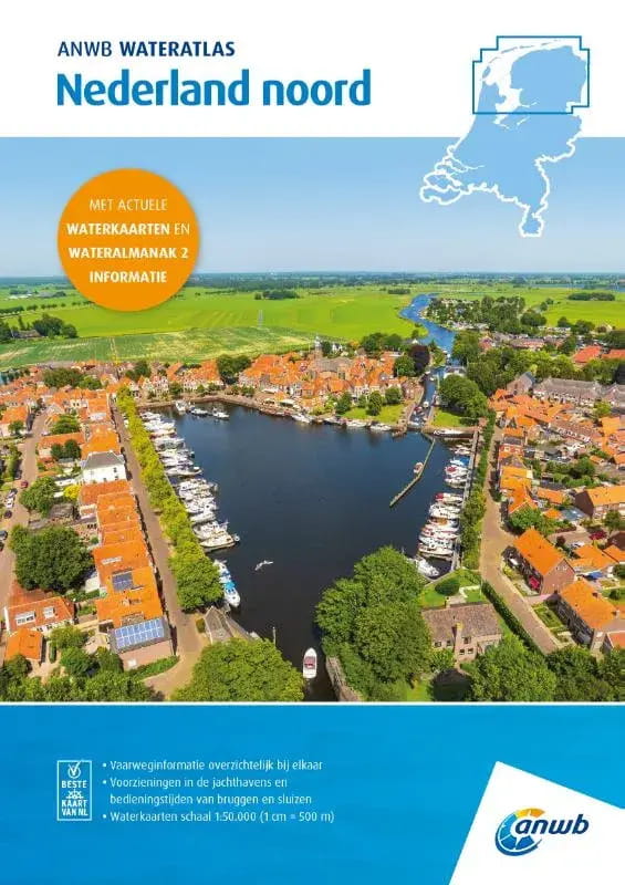
The ANWB Wateratlas Nederland combines the well-known ANWB water charts with information from the Wateralmanak Part 2 for navigation on lakes and rivers about marinas and operating times of bridges and locks in a compact, spiral-bound format. There is a water atlas for Nederland noord, midden and zuid.The ANWB Water Atlas contains:Waterway maps (scale 1:50,000, 1 cm = 500 m) with nautical information for the waterwaysInformation on marinas, moorings, filling stationsOperating times and passage dimensions of bridges, locks and tunnelsThe ANWB Wateratlas Nederland noord replaces the ANWB Waterkaarten 1 Friesland, 2 Noord Groningen, 3 Zuid Groningen and 20 Waddenzee. It also covers parts of ANWB Waterkaarten 4 Drenthe, 5 Kop van Overijssel, 18 IJsselmeer and 19 Dutch Coast. It covers the waterways in Friesland and Groningen, including the Wadden Sea and large parts of the Kop van Noord Holland, Drenthe and a small section of the Kop van Overijssel.The ANWB Water Atlas Nederland midden replaces the ANWB Water Maps 5 Kop van Overijssel, 6 Twente Canals, 7 Gelderse IJssel Zuid, 8 Great Rivers, 9 Randmeren and Vecht and 11 Hollandse Plassen. It also overlaps with parts of ANWB Waterkaart 4 Drenthe, 5 Kop van Overijssel, 10 North Holland, 12 Hollandse Delta, 18 IJsselmeer and 19 Dutch Coast. Waterkaart Amsterdam and Waterkaart 21 Vinkeveense en Loosdrechtse Plassen will also be replaced. It covers the waterways in Utrecht, Flevoland, Randmeren and Markermeer as well as parts of Drenthe, Overijssel, Gelderland, North and South Holland, including the coastal waters.The ANWB Water atlas Nederland zuid replaces the ANWB Water maps 13 West-Brabant, 14 Zeeland-Delta, 15 Biesbosch, 16 North-Brabant and North-Limburg, 17 Limburg-Maas-South and parts of the Water maps 8 Grote Rivieren, 12 Hollandse Delta and 19 Nederlandse Kust. It covers the waterways in Zeeland, North Brabant and Limburg as well as parts of South Holland, Utrecht, Brabant and Gelderland, including the South Holland Delta and adjacent coastal waters.The ANWB Water Atlas is published annually at the end of March.

From €38.00 *
ANWB WATERATLAS: Staande Mastroute
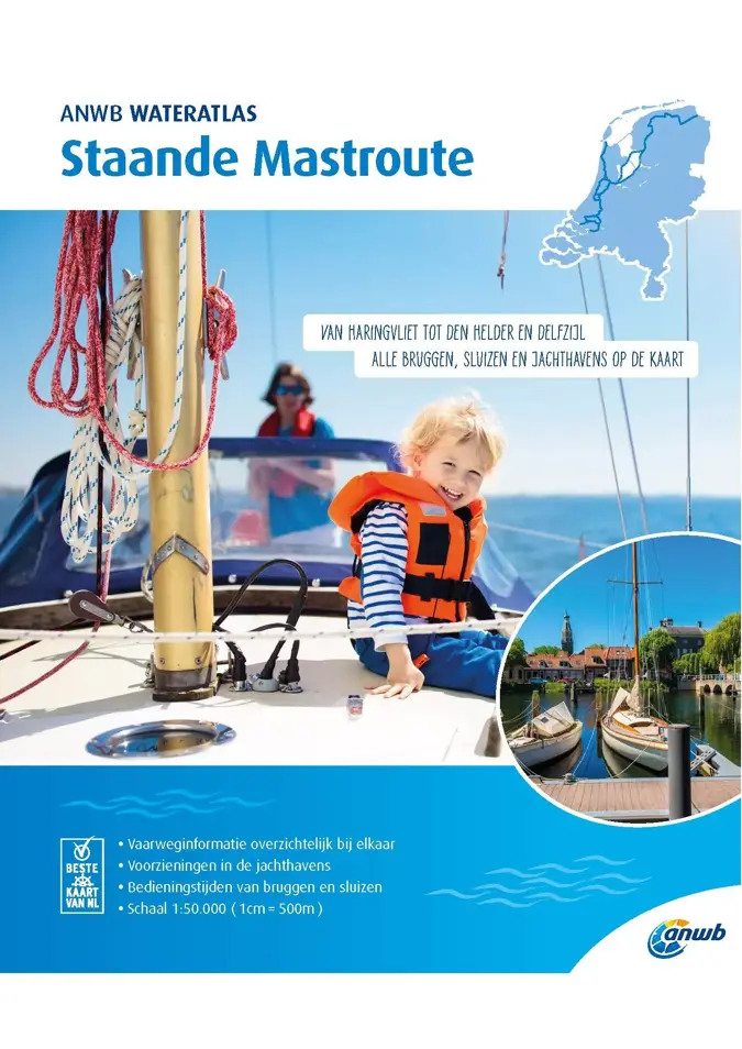
The ANWB Water Atlas Staande Mastroute describes the rewarding inland trip across the Netherlands, which is far more than just an alternative to the North Sea route. In addition to the main route between Haringvliet in the south and Delfzijl on the Ems in the north, all alternative routes and the detour to Den Helder are also included.The maps in the atlas with staple binding are based on the ANWB water charts.The operating times of bridges and locks are noted directly on the map sheets, as is information on the marinas. The selection of marinas is limited to those with berths for boats with a draught of 1.50 m or more.The atlas is divided into five routes:Route 1 Haringvliet to AmsterdamRoute 2 Alternative route via Leiden and HaarlemRoute 3 Alternative route North Sea Canal - Den HelderRoute 4 Amsterdam to LemmerRoute 5 Lemmer to DelfzijlThe bridges and structures are numbered and refer to the Wateralmanak 2 structure numbers. Depth information is only used sparingly in the maps.2019 edition. 60 pages. Scale 1:50,000. In Dutch, with legend in Dutch, English and German.

€22.00 *
ANWB WATERATLAS: Friesland
The ANWB Water Atlas Friesland describes the waters of the province of Friesland.The map material in the atlas with staple binding is based on the ANWB water charts.The operating times of bridges and locks are noted directly on the map sheets, as is information on the marinas. The selection of marinas is limited to those with berths for boats with a draught of 1.50 m or more.The bridges and structures are numbered and refer to the structure numbers of Wateralmanak 2. Depth information is only used sparingly in the charts.Edition 2020. 60 pages. Scale 1:50,000.In Dutch, with legends in Dutch, English and German.

€22.00 *

Last seen products

More articles from this category

Tide tables BSH2117 German Bight and Rivers
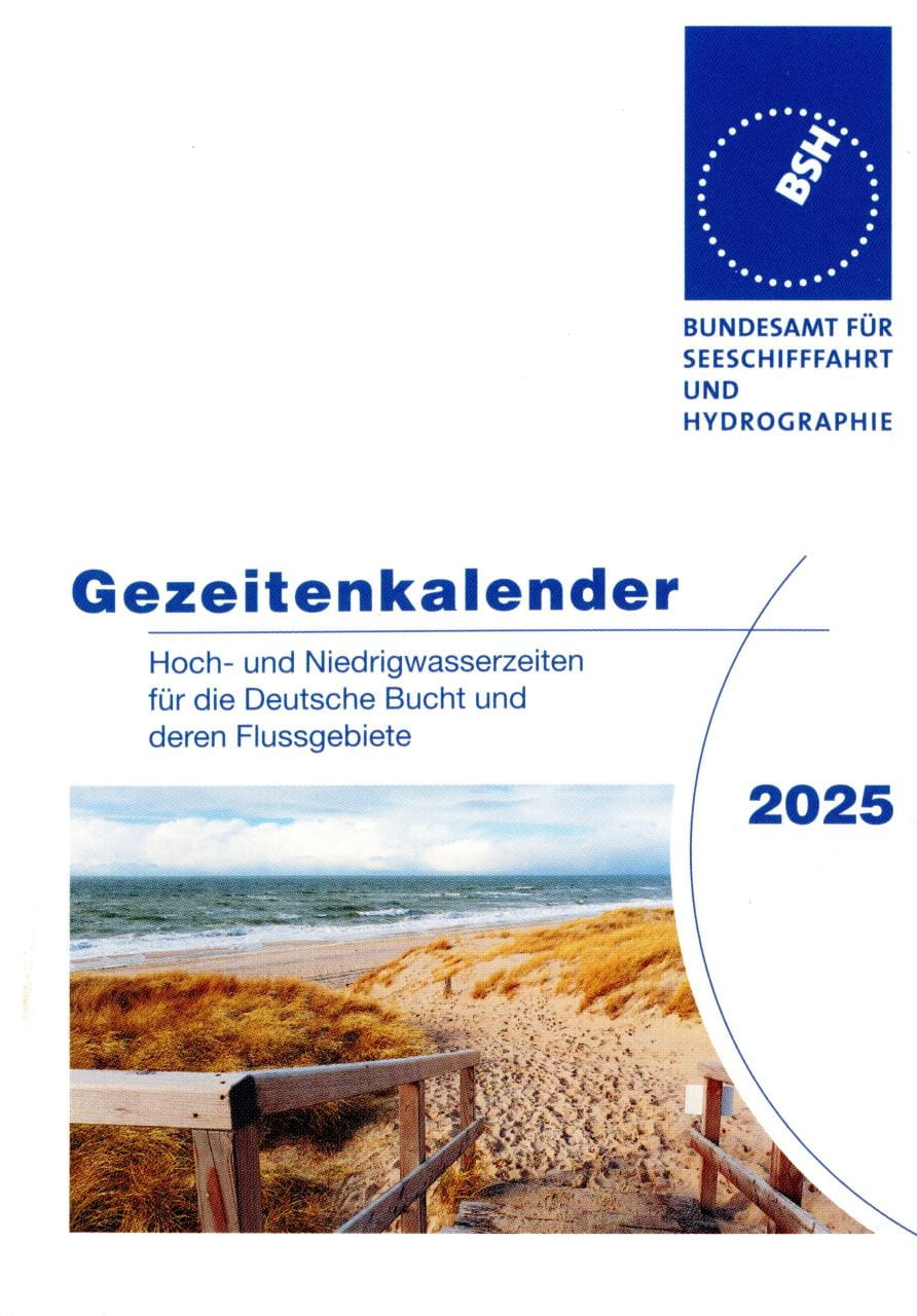
The Tide Calendar: The little prayer book for the tidal areas of the German North Sea coast: high and low tide times for the German Bight and its river basins.Tidal range, spring, mid and neap tides, mean high and low tides, sunrise and sunset times, moon phases, observed highest and lowest water levels, school holidays, wind force table.Publication No. 2117 of the Federal Maritime and Hydrographic Agency (BSH).136 pages, 9.5 x 13 cm, stapled, paperback. German edition.You will receive the edition of the following year from the second half of September.For "late comers" we usually still have some copies of the current year in stock till end of September - please ask explicitly.

€3.30 *
ANWB Wateralmanak 1 and 2
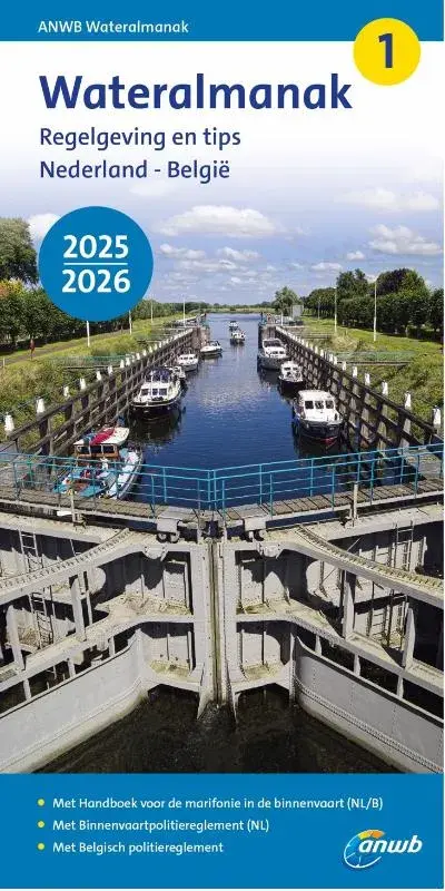
The ANWB Wateralmanak 1 in its current version is mandatory equipment in the Netherlands. This volume contains all the legal provisions of the Dutch and Belgian Inland Waterways Police Regulations (BPR) that are important for water sports, as well as the Inland Radio Manual (marifonie). An updated version is published every two years. Approx. 850 pagesThe ANWB Wateralmanak 2 is an annual, indispensable area handbook and nautical reference book for sailing in the Netherlands and Belgium. It contains a directory of Dutch and Belgian marinas, as well as all the necessary information on operating times and call options for locks and bridges, and practical information on moorings, fees and supply options. With two-color port plans, approx. 900 pages.Both volumes are published in Dutch, with German explanations of signs and abbreviations.Publisher: Royal Netherlands Tourist Board ANWB.Paperback format: 21 x 10.8 x 4cm.

From €23.90 *
REEDS NAUTICAL ALMANAC / Perrin Towler, Mark Fishwick
The bible of cruising sailors.Or as Sir Chay Blyth put it: "There are some things I would not go to sea without - Reeds is one of them."The current edition is available from the beginning of September of the previous year until the end of August of that year.THE comprehensive cruising guide covers the European Atlantic coast from the tip of Denmark to Gibraltar, including Madeira and the Azores. It also provides concentrated information on the entire North Sea and the British Isles.This most important nautical information source for cruising sailors offers over 700 detailed plans of harbours and marinas with references to supply facilities, route descriptions, beacon descriptions, tide tables, current charts, around 7,500 waypoints, distance tables, radiotelephony, marine weather, safety and first aid information and tips on passage planning.An average of more than 45,000 changes and corrections per year keep the Reeds Nautical Almanac up to date.Divided into 26 sections, the entire European coast from Skagen in Denmark to the Strait of Gibraltar is presented: Denmark, Germany, the Netherlands, Belgium, the British Isles, the English Channel, as well as the Atlantic coasts of France, Spain and Portugal, plus the Azores and Madeira.The book includes the Reeds Marina Guide 2024 with a directory of marinas, chandlers and service providers in the UK, Ireland and the Channel Islands. 1100 pages, softcover. English edition.

€65.90 *