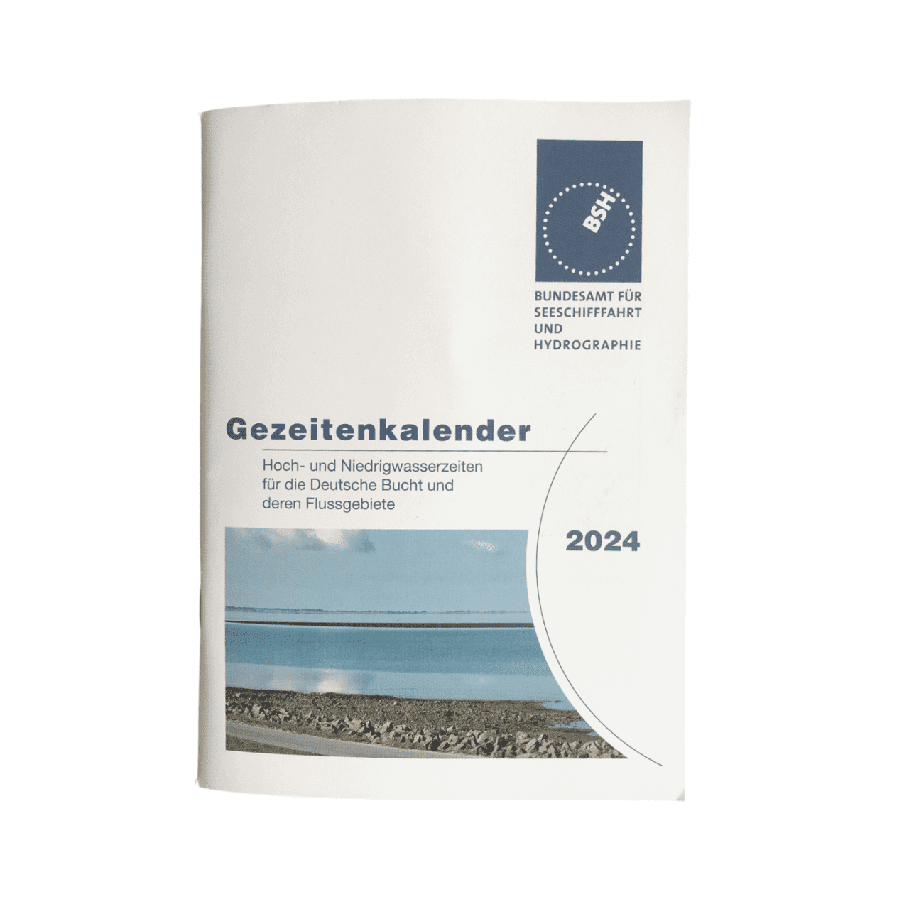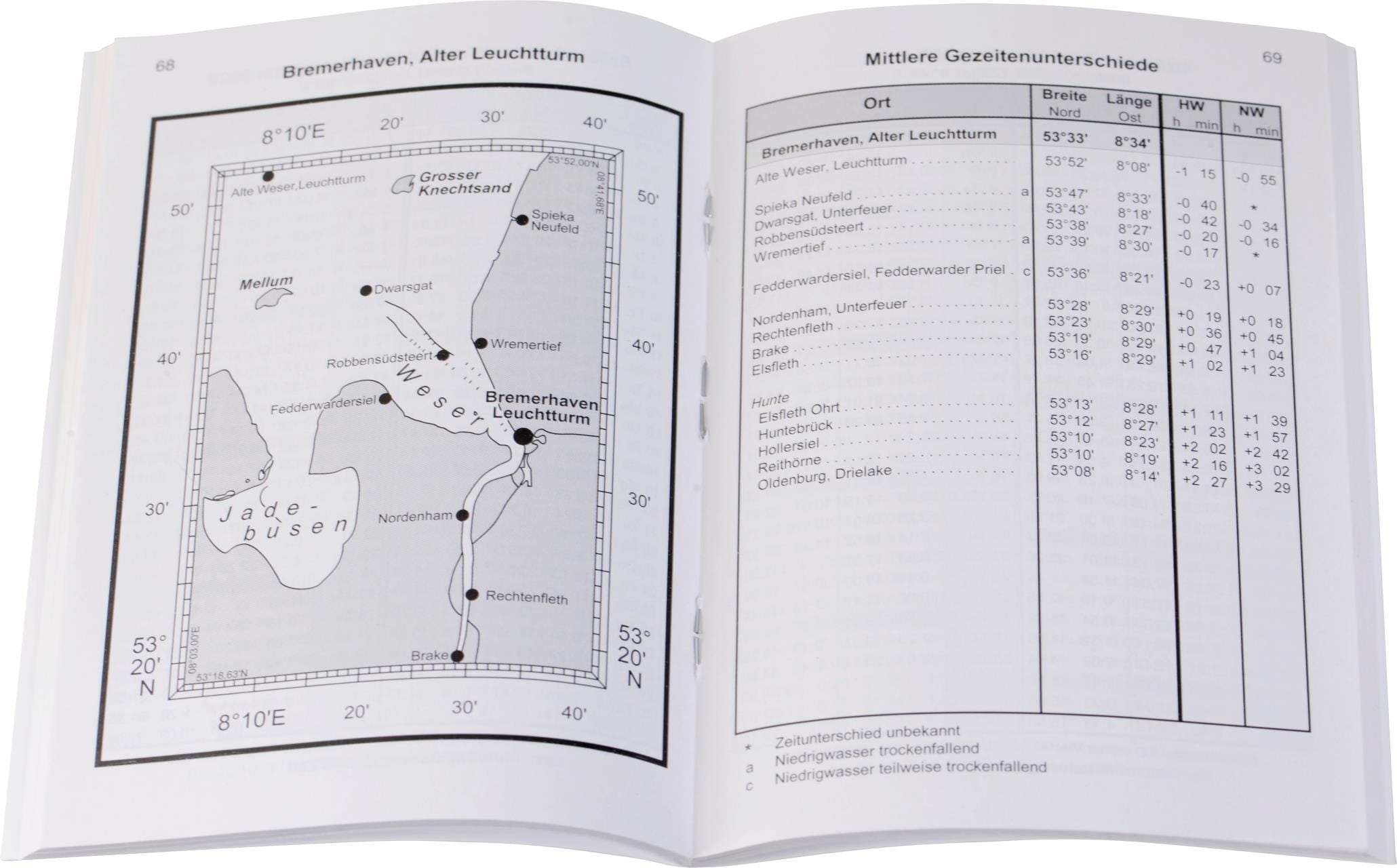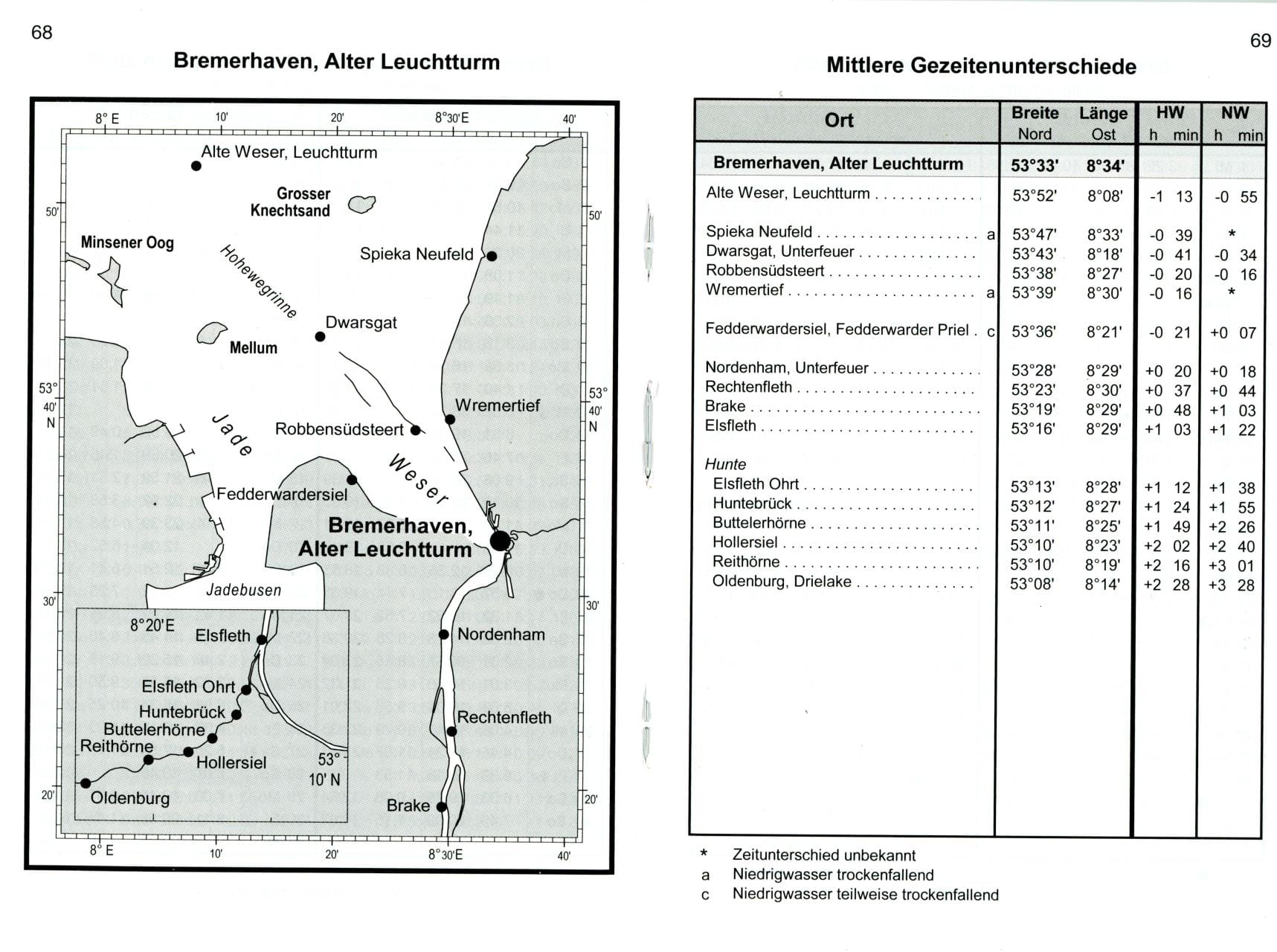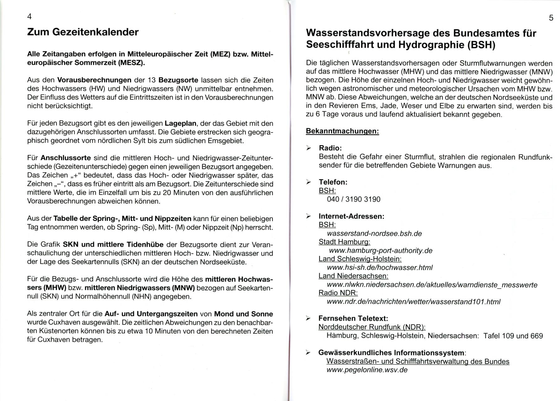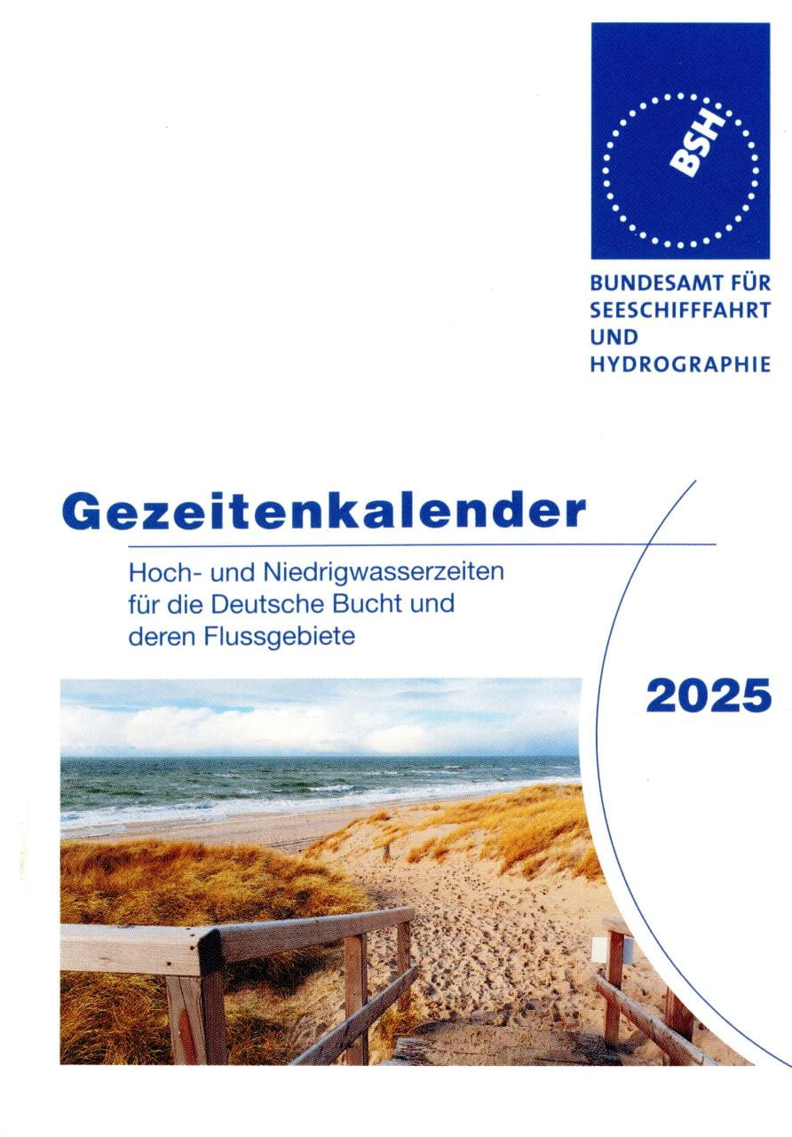

The Tide Calendar: The little prayer book for the tidal areas of the German North Sea coast: high and low tide times for the German Bight and its river basins.

Tidal range, spring, mid and neap tides, mean high and low tides, sunrise and sunset times, moon phases, observed highest and lowest water levels, school holidays, wind force table.

Publication No. 2117 of the Federal Maritime and Hydrographic Agency (BSH).

136 pages, 9.5 x 13 cm, stapled, paperback. German edition.

You will receive the edition of the following year from the second half of September.

For "late comers" we usually still have some copies of the current year in stock till end of September - please ask explicitly.

Last seen products

More articles from this category

Tide tables BSH2117 German Bight and Rivers
The Tide Calendar: The little prayer book for the tidal areas of the German North Sea coast: high and low tide times for the German Bight and its river basins.Tidal range, spring, mid and neap tides, mean high and low tides, sunrise and sunset times, moon phases, observed highest and lowest water levels, school holidays, wind force table.Publication No. 2117 of the Federal Maritime and Hydrographic Agency (BSH).136 pages, 9.5 x 13 cm, stapled, paperback. German edition.You will receive the edition of the following year from the second half of September.For "late comers" we usually still have some copies of the current year in stock till end of September - please ask explicitly.

€3.30 *
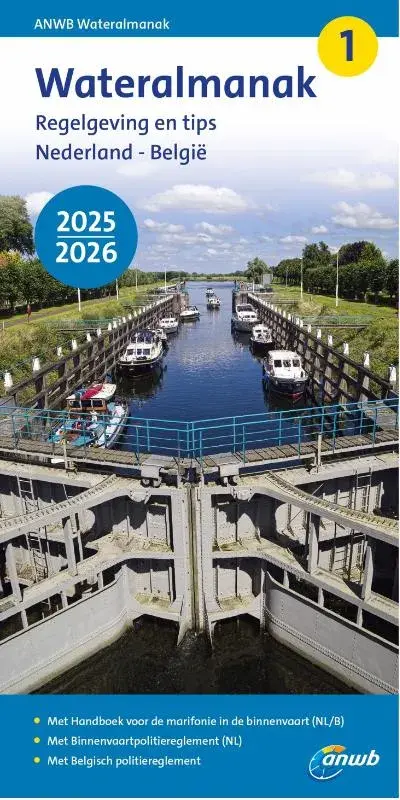
ANWB Wateralmanak 1 and 2
The ANWB Wateralmanak 1 in its current version is mandatory equipment in the Netherlands. This volume contains all the legal provisions of the Dutch and Belgian Inland Waterways Police Regulations (BPR) that are important for water sports, as well as the Inland Radio Manual (marifonie). An updated version is published every two years. Approx. 850 pagesThe ANWB Wateralmanak 2 is an annual, indispensable area handbook and nautical reference book for sailing in the Netherlands and Belgium. It contains a directory of Dutch and Belgian marinas, as well as all the necessary information on operating times and call options for locks and bridges, and practical information on moorings, fees and supply options. With two-color port plans, approx. 900 pages.Both volumes are published in Dutch, with German explanations of signs and abbreviations.Publisher: Royal Netherlands Tourist Board ANWB.Paperback format: 21 x 10.8 x 4cm.

From €23.90 *
REEDS NAUTICAL ALMANAC / Perrin Towler, Mark Fishwick
The bible of cruising sailors.Or as Sir Chay Blyth put it: "There are some things I would not go to sea without - Reeds is one of them."The current edition is available from the beginning of September of the previous year until the end of August of that year.THE comprehensive cruising guide covers the European Atlantic coast from the tip of Denmark to Gibraltar, including Madeira and the Azores. It also provides concentrated information on the entire North Sea and the British Isles.This most important nautical information source for cruising sailors offers over 700 detailed plans of harbours and marinas with references to supply facilities, route descriptions, beacon descriptions, tide tables, current charts, around 7,500 waypoints, distance tables, radiotelephony, marine weather, safety and first aid information and tips on passage planning.An average of more than 45,000 changes and corrections per year keep the Reeds Nautical Almanac up to date.Divided into 26 sections, the entire European coast from Skagen in Denmark to the Strait of Gibraltar is presented: Denmark, Germany, the Netherlands, Belgium, the British Isles, the English Channel, as well as the Atlantic coasts of France, Spain and Portugal, plus the Azores and Madeira.The book includes the Reeds Marina Guide 2024 with a directory of marinas, chandlers and service providers in the UK, Ireland and the Channel Islands. 1100 pages, softcover. English edition.

€65.90 *