
This booklet contains useful waypoints for GPS navigation on the Baltic Sea, which are used in the NV CHARTS charts.

The waypoints are a selection of suitable buoys, approaches or corner points at safe water depths. They are printed as red markers in the NV CHARTS sport navigation charts and thus save the user of satellite navigation devices from having to look up the coordinates in the nautical chart when drawing up the route plan or while underway.

Softback booklet.

Waypoints of the Baltic Sea is published annually (in April).

German edition.

Last seen products

More articles from this category

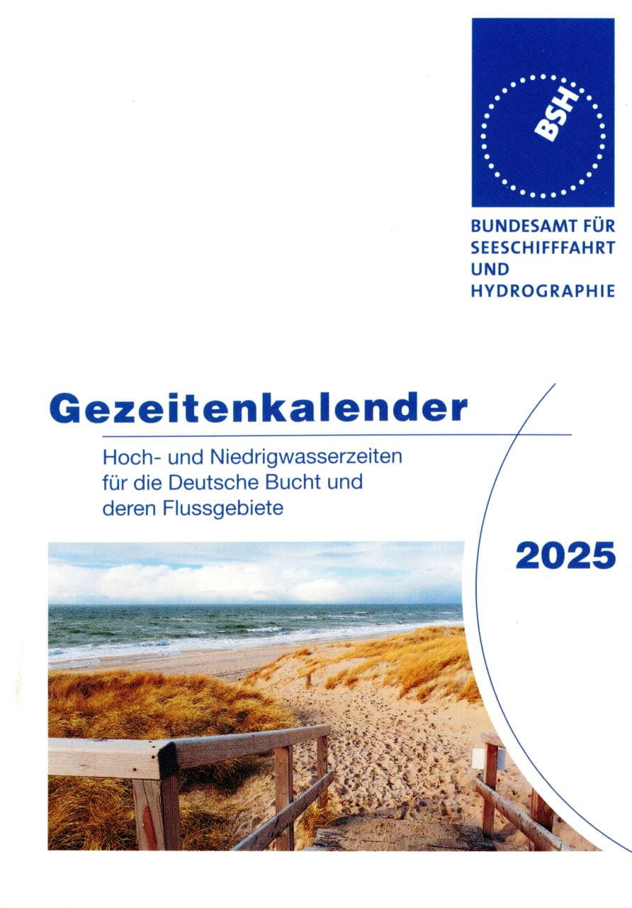
Tide tables BSH2117 German Bight and Rivers
The Tide Calendar: The little prayer book for the tidal areas of the German North Sea coast: high and low tide times for the German Bight and its river basins.Tidal range, spring, mid and neap tides, mean high and low tides, sunrise and sunset times, moon phases, observed highest and lowest water levels, school holidays, wind force table.Publication No. 2117 of the Federal Maritime and Hydrographic Agency (BSH).136 pages, 9.5 x 13 cm, stapled, paperback. German edition.You will receive the edition of the following year from the second half of September.For "late comers" we usually still have some copies of the current year in stock till end of September - please ask explicitly.

€3.30 *
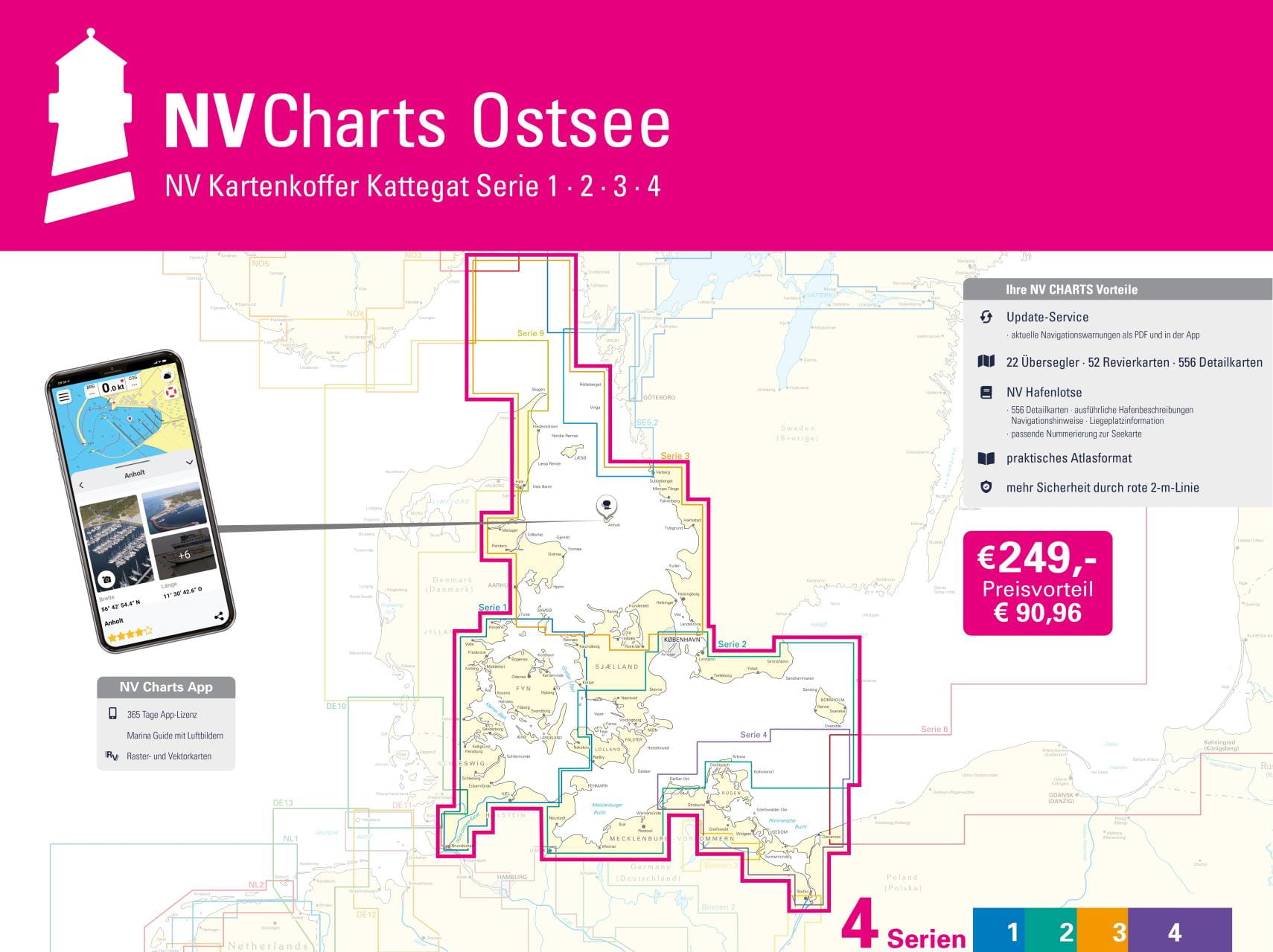
NV CHARTS Chart Box Baltic Sea series 1-4
The Baltic Sea from Skagen to Bornholm: The Baltic Sea chart sets 1-4 of the sport boat chart publisher NAUTISCHE VERÖFFENTLICHUNGEN we also supply as a complete package in a practical transparent plastic case at an attractive preferential price. The proven handy charts are arranged in sets according to cruising areas. All information is specially prepared for the requirements of recreational boating.The Baltic Sea case includes20 Passage Charts42 Coastal charts & detailed chartsnv charts app and navigation software 365 days licencenew: Vector charts downloadHarbour Pilot in paper / digital in German and EnglishNavigation instructions in GermanMeets legal requirement for up-to-date paper nautical charts on board pleasure boatsAll NV Verlag / NV Charts also include an access code to the digital nautical charts in the NV Charts app and can thus be easily downloaded. The charts can be used for 365 days from activation for offline navigation with the NV Charts App on iOS, Android, PC and Mac or also in the web browser.Updated editions of the charts are published annually (usually in March). Up-to-date nautical charts are the basis of safe navigation. NV Charts offers a monthly correction service for its nautical charts from April to October.Chart format 60 x 42 cm.All four chart sets in transparent plastic case.German edition.

€249.00 *
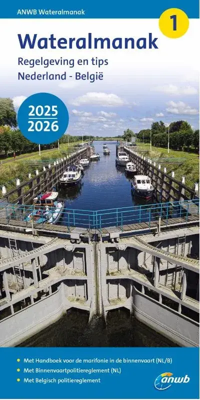
ANWB Wateralmanak 1 and 2
The ANWB Wateralmanak 1 in its current version is mandatory equipment in the Netherlands. This volume contains all the legal provisions of the Dutch and Belgian Inland Waterways Police Regulations (BPR) that are important for water sports, as well as the Inland Radio Manual (marifonie). An updated version is published every two years. Approx. 850 pagesThe ANWB Wateralmanak 2 is an annual, indispensable area handbook and nautical reference book for sailing in the Netherlands and Belgium. It contains a directory of Dutch and Belgian marinas, as well as all the necessary information on operating times and call options for locks and bridges, and practical information on moorings, fees and supply options. With two-color port plans, approx. 900 pages.Both volumes are published in Dutch, with German explanations of signs and abbreviations.Publisher: Royal Netherlands Tourist Board ANWB.Paperback format: 21 x 10.8 x 4cm.

From €23.90 *
REEDS NAUTICAL ALMANAC / Perrin Towler, Mark Fishwick
The bible of cruising sailors.Or as Sir Chay Blyth put it: "There are some things I would not go to sea without - Reeds is one of them."The current edition is available from the beginning of September of the previous year until the end of August of that year.THE comprehensive cruising guide covers the European Atlantic coast from the tip of Denmark to Gibraltar, including Madeira and the Azores. It also provides concentrated information on the entire North Sea and the British Isles.This most important nautical information source for cruising sailors offers over 700 detailed plans of harbours and marinas with references to supply facilities, route descriptions, beacon descriptions, tide tables, current charts, around 7,500 waypoints, distance tables, radiotelephony, marine weather, safety and first aid information and tips on passage planning.An average of more than 45,000 changes and corrections per year keep the Reeds Nautical Almanac up to date.Divided into 26 sections, the entire European coast from Skagen in Denmark to the Strait of Gibraltar is presented: Denmark, Germany, the Netherlands, Belgium, the British Isles, the English Channel, as well as the Atlantic coasts of France, Spain and Portugal, plus the Azores and Madeira.The book includes the Reeds Marina Guide 2024 with a directory of marinas, chandlers and service providers in the UK, Ireland and the Channel Islands. 1100 pages, softcover. English edition.

€65.90 *
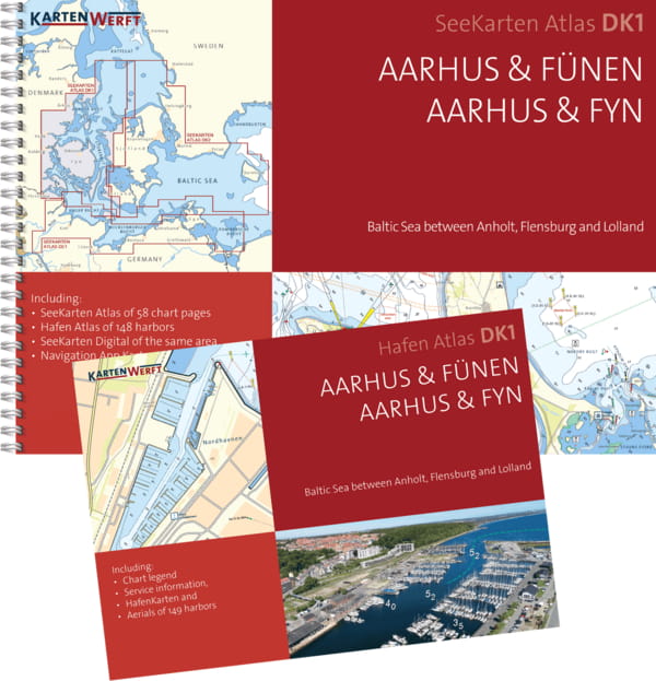
KARTENWERFT Nautical charts Atlas DK1 Aarhus & Funen
Nautical chart atlas in handy, ring-bound A3 format.Data from the Federal Maritime and Hydrographic Agency (BSH) and the Danish Geodata Agency (DGA) are presented in an attractive layout for the well-chosen sections of the area. The maps offer a clear structure, catchy symbols, texts in German and Danish and terms and brief information in English.The atlas consists of:5 to 8 area charts (scale 1:240,000)9 to 25 coastal charts (1:120,000 to 1:80,000)37 to 59 detailed charts at a scale of 1:40,000 to 1:20,000The nautical charts can also be used digitally in the Kartenwerft Navgo app (Android and iOS) - free of charge and unlimited.The accompanying port atlas in A4 format presents 74 to 202 ports in aerial photos and port maps (1:5,000 - 1:6,000).As an area service, updates of the area information and reports are available during the season.The charts are protected from splash water in the transparent plastic cover.The chart atlas is published annually before the start of the season, updated up to and including issue 8 of "Nachrichten für Seefahrer".Three chart atlases each are combined in the chart boxes Western Baltic Sea North (DK1, DK2, DK3) and Western Baltic Sea South (DE1, DK1, DK2).

From €79.90 *