ANWB Wateratlas Nederland
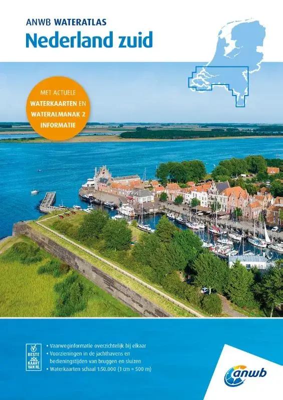 9026-253 ANWB WATERATLAS Nederland zuid
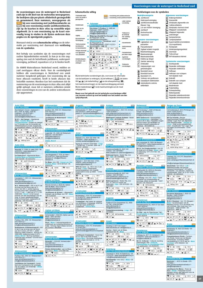
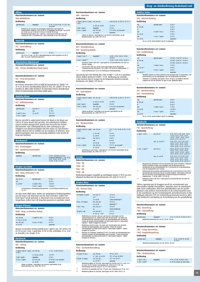
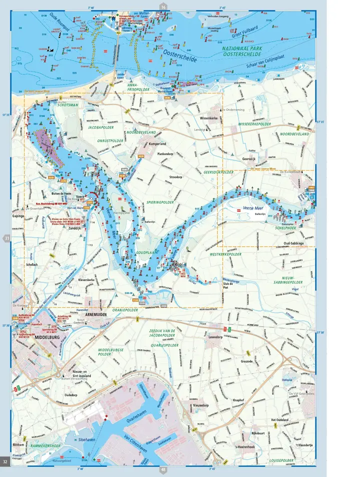
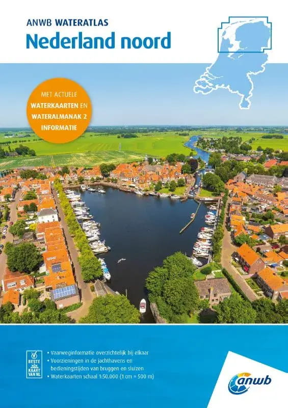 9026-251 ANWB WATERATLAS Nederland noord
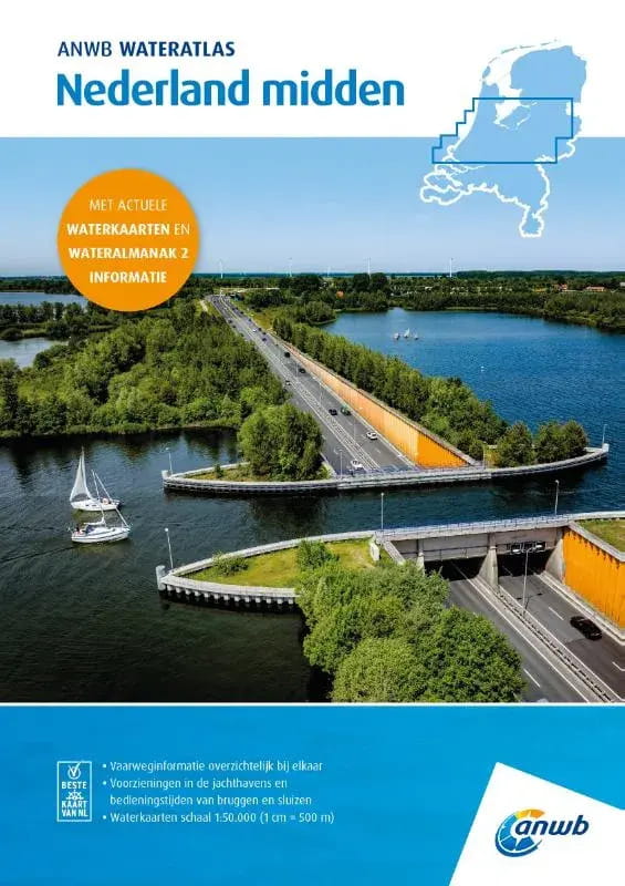 9026-252 ANWB WATERATLAS Nederland midden
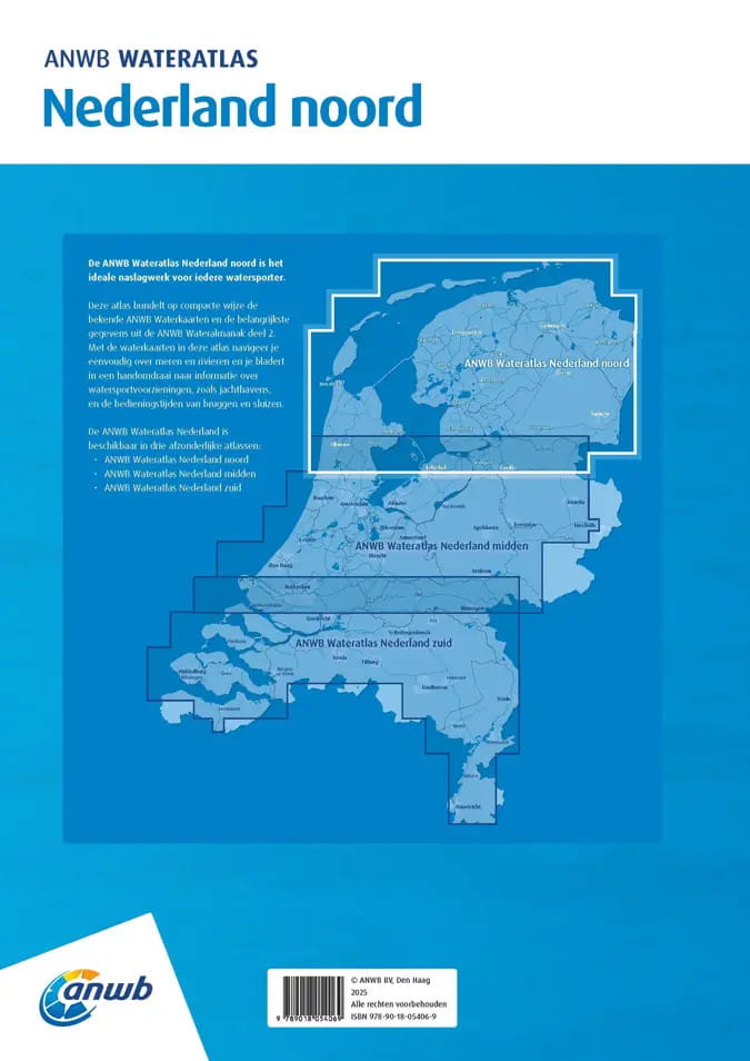 9026-251 ANWB WATERATLAS Nederland noord
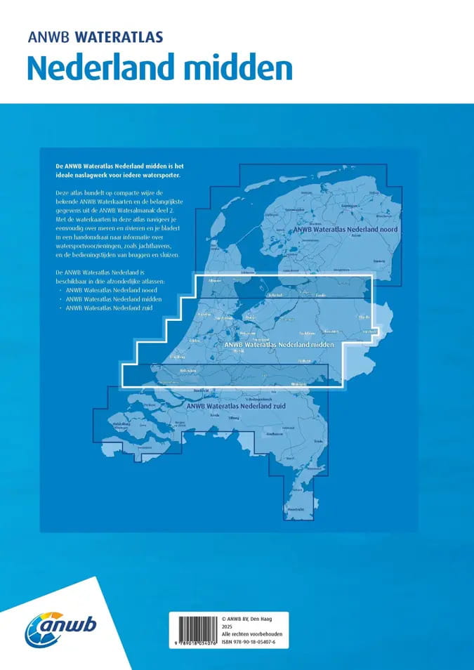 9026-252 ANWB WATERATLAS Nederland midden
 9026-253 ANWB WATERATLAS Nederland zuid
 9026-251 ANWB WATERATLAS Nederland noord
 9026-252 ANWB WATERATLAS Nederland midden
 9026-253 ANWB WATERATLAS Nederland zuid


ANWB Wateratlas Nederland
from €38.00*
€38.00*
Prices incl. VAT plus shipping costs
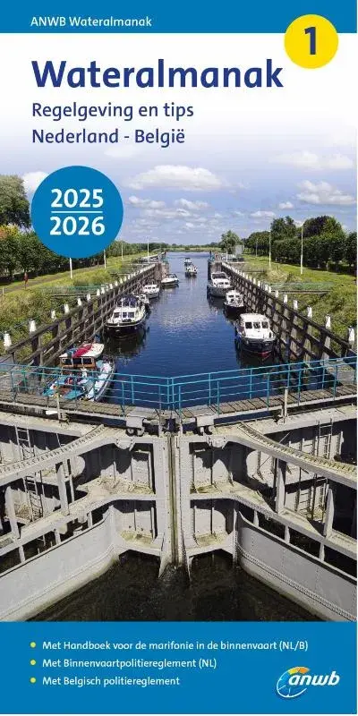
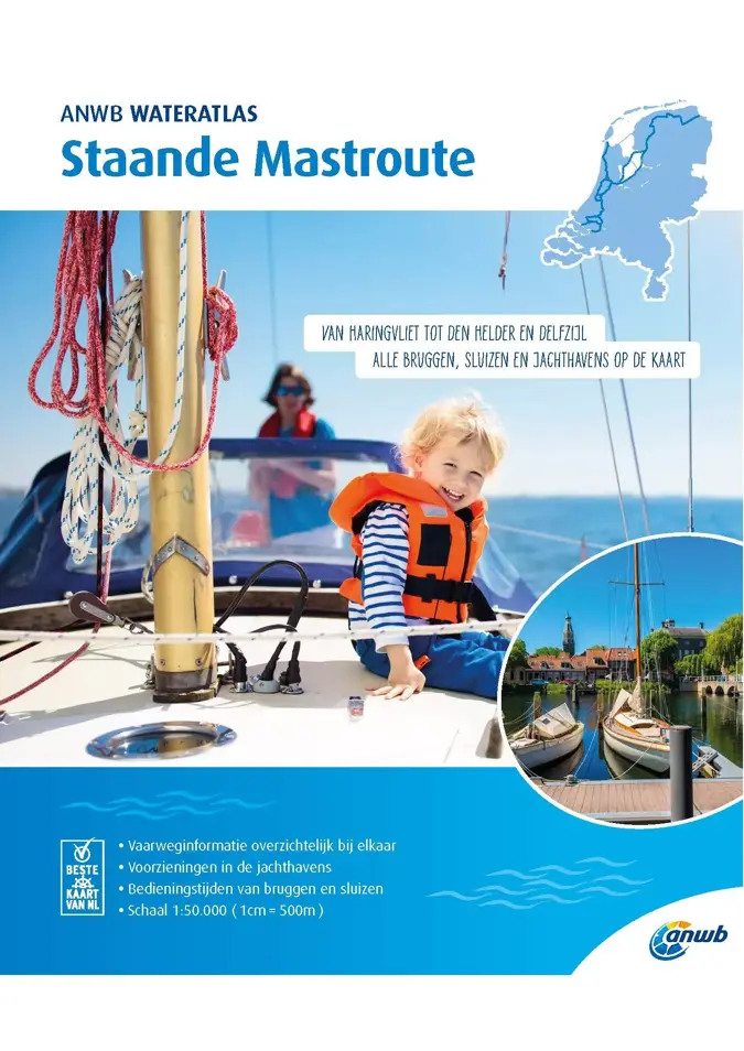
The ANWB Wateratlas Nederland combines the well-known ANWB water charts with information from the Wateralmanak Part 2 for navigation on lakes and rivers about marinas and operating times of bridges and locks in a compact, spiral-bound format. There is a water atlas for Nederland noord, midden and zuid.
The ANWB Water Atlas contains:
- Waterway maps (scale 1:50,000, 1 cm = 500 m) with nautical information for the waterways
- Information on marinas, moorings, filling stations
- Operating times and passage dimensions of bridges, locks and tunnels
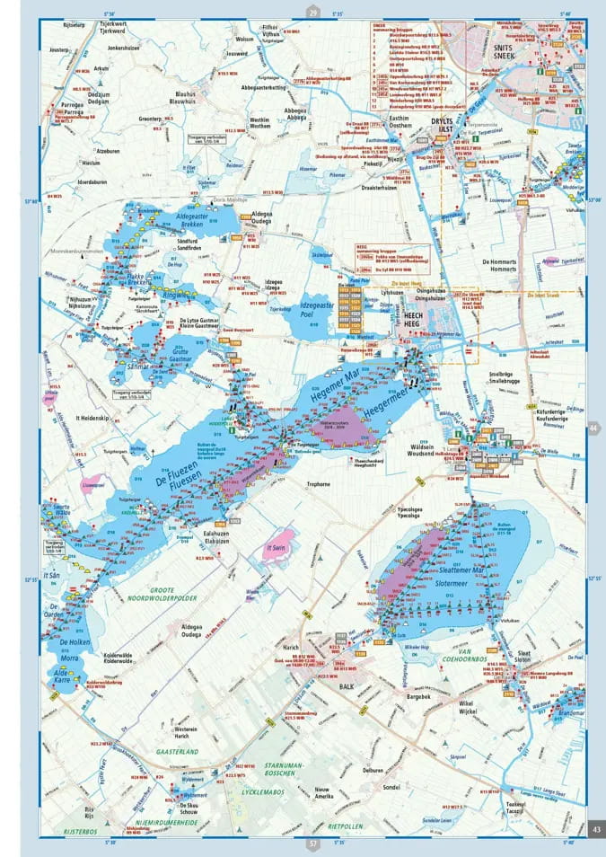
The ANWB Wateratlas Nederland noord replaces the ANWB Waterkaarten 1 Friesland, 2 Noord Groningen, 3 Zuid Groningen and 20 Waddenzee. It also covers parts of ANWB Waterkaarten 4 Drenthe, 5 Kop van Overijssel, 18 IJsselmeer and 19 Dutch Coast. It covers the waterways in Friesland and Groningen, including the Wadden Sea and large parts of the Kop van Noord Holland, Drenthe and a small section of the Kop van Overijssel.
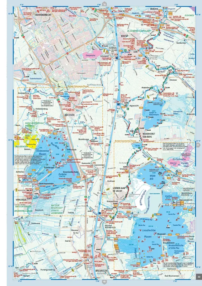
The ANWB Water Atlas Nederland midden replaces the ANWB Water Maps 5 Kop van Overijssel, 6 Twente Canals, 7 Gelderse IJssel Zuid, 8 Great Rivers, 9 Randmeren and Vecht and 11 Hollandse Plassen. It also overlaps with parts of ANWB Waterkaart 4 Drenthe, 5 Kop van Overijssel, 10 North Holland, 12 Hollandse Delta, 18 IJsselmeer and 19 Dutch Coast. Waterkaart Amsterdam and Waterkaart 21 Vinkeveense en Loosdrechtse Plassen will also be replaced. It covers the waterways in Utrecht, Flevoland, Randmeren and Markermeer as well as parts of Drenthe, Overijssel, Gelderland, North and South Holland, including the coastal waters.
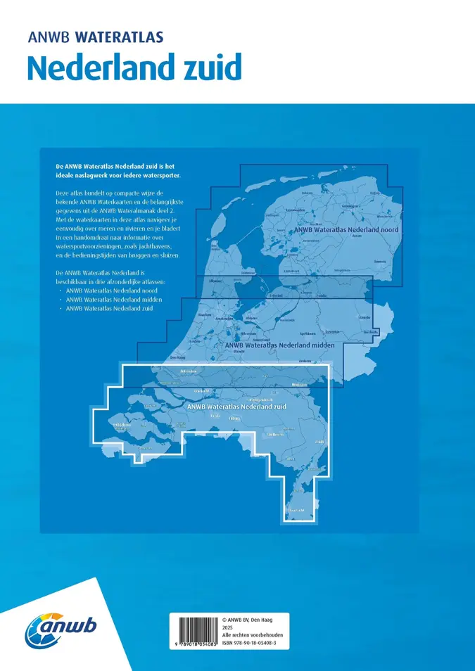
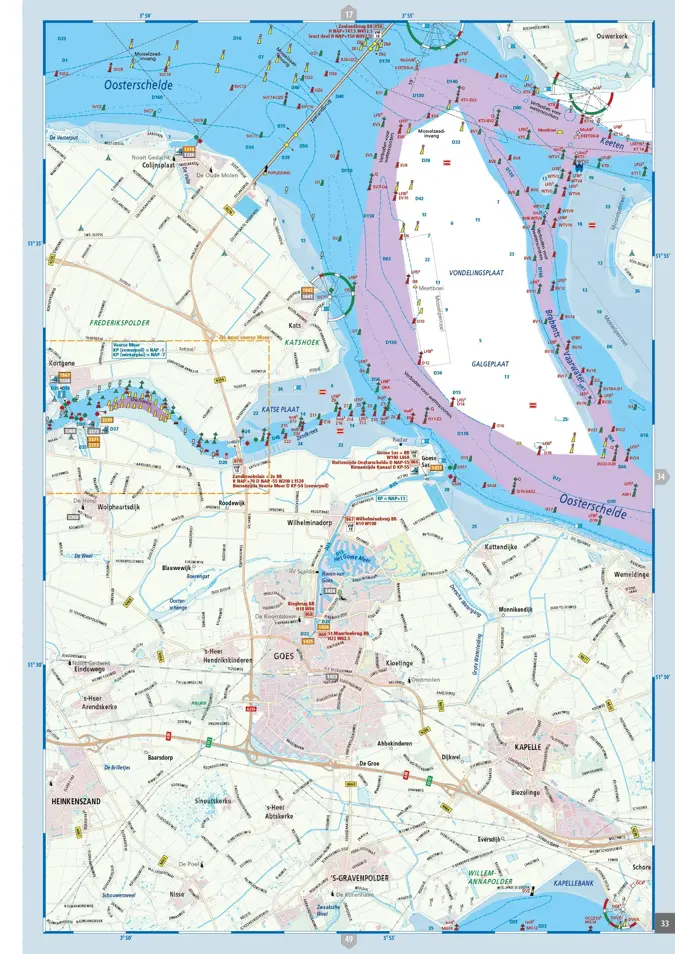
The ANWB Water atlas Nederland zuid replaces the ANWB Water maps 13 West-Brabant, 14 Zeeland-Delta, 15 Biesbosch, 16 North-Brabant and North-Limburg, 17 Limburg-Maas-South and parts of the Water maps 8 Grote Rivieren, 12 Hollandse Delta and 19 Nederlandse Kust. It covers the waterways in Zeeland, North Brabant and Limburg as well as parts of South Holland, Utrecht, Brabant and Gelderland, including the South Holland Delta and adjacent coastal waters.
The ANWB Water Atlas is published annually at the end of March.
| Art. No. | model | area | Price (exemplar) | Delivery time | Note list | Buy |
|---|
The ANWB Wateratlas Nederland combines the well-known ANWB water charts with information from the Wateralmanak Part 2 for navigation on lakes and rivers about marinas and operating times of bridges and locks in a compact, spiral-bound format. There is a water atlas for Nederland noord, midden and zuid.
The ANWB Water Atlas contains:
- Waterway maps (scale 1:50,000, 1 cm = 500 m) with nautical information for the waterways
- Information on marinas, moorings, filling stations
- Operating times and passage dimensions of bridges, locks and tunnels
The ANWB Wateratlas Nederland noord replaces the ANWB Waterkaarten 1 Friesland, 2 Noord Groningen, 3 Zuid Groningen and 20 Waddenzee. It also covers parts of ANWB Waterkaarten 4 Drenthe, 5 Kop van Overijssel, 18 IJsselmeer and 19 Dutch Coast. It covers the waterways in Friesland and Groningen, including the Wadden Sea and large parts of the Kop van Noord Holland, Drenthe and a small section of the Kop van Overijssel.
The ANWB Water Atlas Nederland midden replaces the ANWB Water Maps 5 Kop van Overijssel, 6 Twente Canals, 7 Gelderse IJssel Zuid, 8 Great Rivers, 9 Randmeren and Vecht and 11 Hollandse Plassen. It also overlaps with parts of ANWB Waterkaart 4 Drenthe, 5 Kop van Overijssel, 10 North Holland, 12 Hollandse Delta, 18 IJsselmeer and 19 Dutch Coast. Waterkaart Amsterdam and Waterkaart 21 Vinkeveense en Loosdrechtse Plassen will also be replaced. It covers the waterways in Utrecht, Flevoland, Randmeren and Markermeer as well as parts of Drenthe, Overijssel, Gelderland, North and South Holland, including the coastal waters.
The ANWB Water atlas Nederland zuid replaces the ANWB Water maps 13 West-Brabant, 14 Zeeland-Delta, 15 Biesbosch, 16 North-Brabant and North-Limburg, 17 Limburg-Maas-South and parts of the Water maps 8 Grote Rivieren, 12 Hollandse Delta and 19 Nederlandse Kust. It covers the waterways in Zeeland, North Brabant and Limburg as well as parts of South Holland, Utrecht, Brabant and Gelderland, including the South Holland Delta and adjacent coastal waters.
The ANWB Water Atlas is published annually at the end of March.
Similar products
Last seen products
More articles from this category

