ANWB WATERATLAS: Staande Mastroute

ANWB WATERATLAS: Staande Mastroute
€22.00*
€22.00*
Prices incl. VAT plus shipping costs
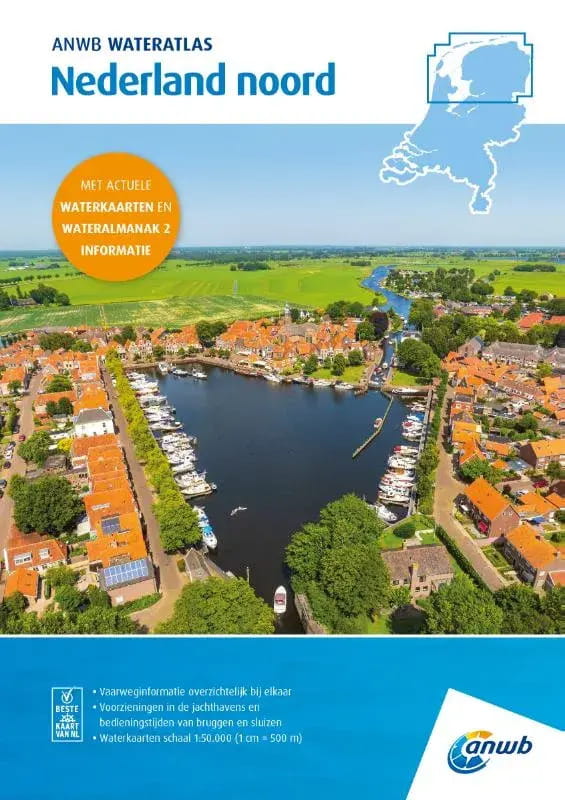
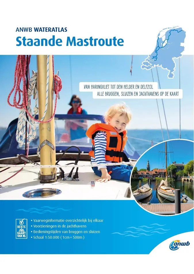
The ANWB Water Atlas Staande Mastroute describes the rewarding inland trip across the Netherlands, which is far more than just an alternative to the North Sea route. In addition to the main route between Haringvliet in the south and Delfzijl on the Ems in the north, all alternative routes and the detour to Den Helder are also included.
The maps in the atlas with staple binding are based on the ANWB water charts.
The operating times of bridges and locks are noted directly on the map sheets, as is information on the marinas. The selection of marinas is limited to those with berths for boats with a draught of 1.50 m or more.
The atlas is divided into five routes:
- Route 1 Haringvliet to Amsterdam
- Route 2 Alternative route via Leiden and Haarlem
- Route 3 Alternative route North Sea Canal - Den Helder
- Route 4 Amsterdam to Lemmer
- Route 5 Lemmer to Delfzijl
The bridges and structures are numbered and refer to the Wateralmanak 2 structure numbers. Depth information is only used sparingly in the maps.
2019 edition. 60 pages. Scale 1:50,000. In Dutch, with legend in Dutch, English and German.
| Art. No. | model | area | Price (exemplar) | Delivery time | Note list | Buy |
|---|
The ANWB Water Atlas Staande Mastroute describes the rewarding inland trip across the Netherlands, which is far more than just an alternative to the North Sea route. In addition to the main route between Haringvliet in the south and Delfzijl on the Ems in the north, all alternative routes and the detour to Den Helder are also included.
The maps in the atlas with staple binding are based on the ANWB water charts.
The operating times of bridges and locks are noted directly on the map sheets, as is information on the marinas. The selection of marinas is limited to those with berths for boats with a draught of 1.50 m or more.
The atlas is divided into five routes:
- Route 1 Haringvliet to Amsterdam
- Route 2 Alternative route via Leiden and Haarlem
- Route 3 Alternative route North Sea Canal - Den Helder
- Route 4 Amsterdam to Lemmer
- Route 5 Lemmer to Delfzijl
The bridges and structures are numbered and refer to the Wateralmanak 2 structure numbers. Depth information is only used sparingly in the maps.
2019 edition. 60 pages. Scale 1:50,000. In Dutch, with legend in Dutch, English and German.
Similar products
Last seen products
More articles from this category

